Royal Road of the Inland
Aguascalientes
The Camino Real de Tierra Adentro (Royal Road of the Inland) was a trade route established by Spanish colonizers that began to develop as their incursions into the north of present-day Mexico and the south of the American Union advanced. Thus, the different branches that gradually developed came to connect the town of Santa Fe, New Mexico, with the capital of New Spain, today Mexico City. This route was a stretch of nearly 2,600 km that not only formed a trade route but also allowed for the development of a unique culture and idiosyncrasy throughout the towns, villages, missions, Indian republics, haciendas, and cities that grew out of this route. This road was in use for almost 400 years, from the 16th to the 19th century.

In the case of Aguascalientes, there were two main branches that crossed the territory with more than 110 kilometers of total length:
1. The one that connected Querétaro with Zacatecas, passing through the towns of the Mexican Bajío region.
2. The Silver Road, the best-known in the region, named this way by researchers such as Aurelio de los Reyes, because it was the main route for the transport and trade of this and other precious metals. This road ran from Querétaro to San Miguel de Allende, near the Zacatecas town known as El Cuisillo, and joined the route mentioned in the previous point, entering the lands that today make up Aguascalientes.

It was thanks to the Silver Road that Aguascalientes began to appear on the map, being used as a resting place, offering ships transporting goods and people protection from the constant attacks of the "Chichimeca" peoples who inhabited the region.
During the War of Independence, the Silver Road served as a means of transport and supply for troops from both sides. In some areas, these struggles led to a halt in trade.

After Mexico's independence in 1821, the Camino Real de Tierra Adentro (Royal Road of the Interior) became the main overland trade link from Missouri to Chihuahua and from there to the south of the country. This commercial and cultural exchange was interrupted and ended in 1848 with the American War of Intervention, where Mexico ceded a large part of its territory. Thus, the Camino Real de Tierra Adentro was divided by the new border established between Mexico and the United States along the Rio Grande.
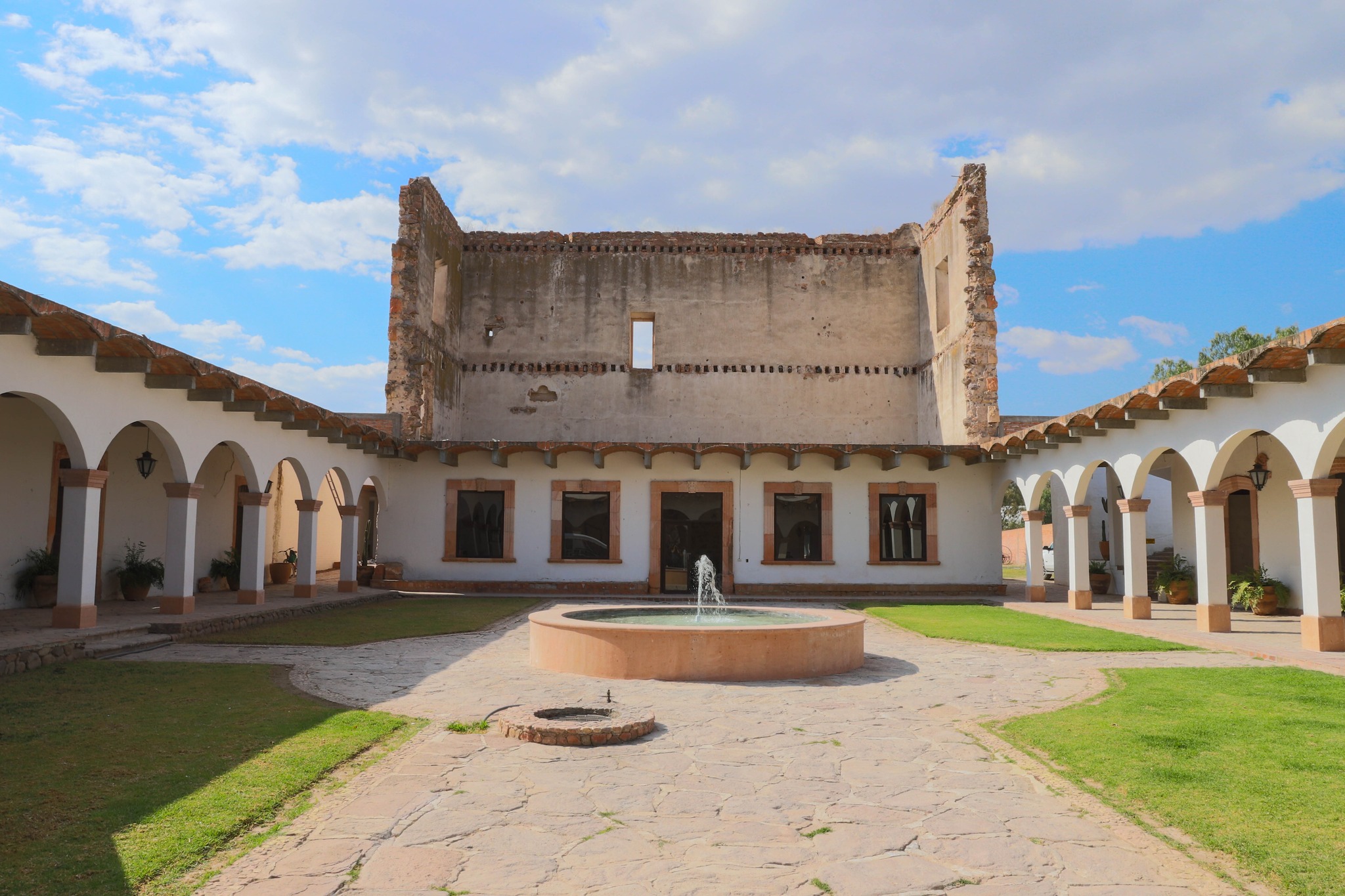
Along the Camino Real route through the state of Aguascalientes, more than 14 ranches flourished, producing livestock and agricultural products, in addition to a mining town, Real de Asientos, now a magical town an hour's drive from the capital city of Aguascalientes.

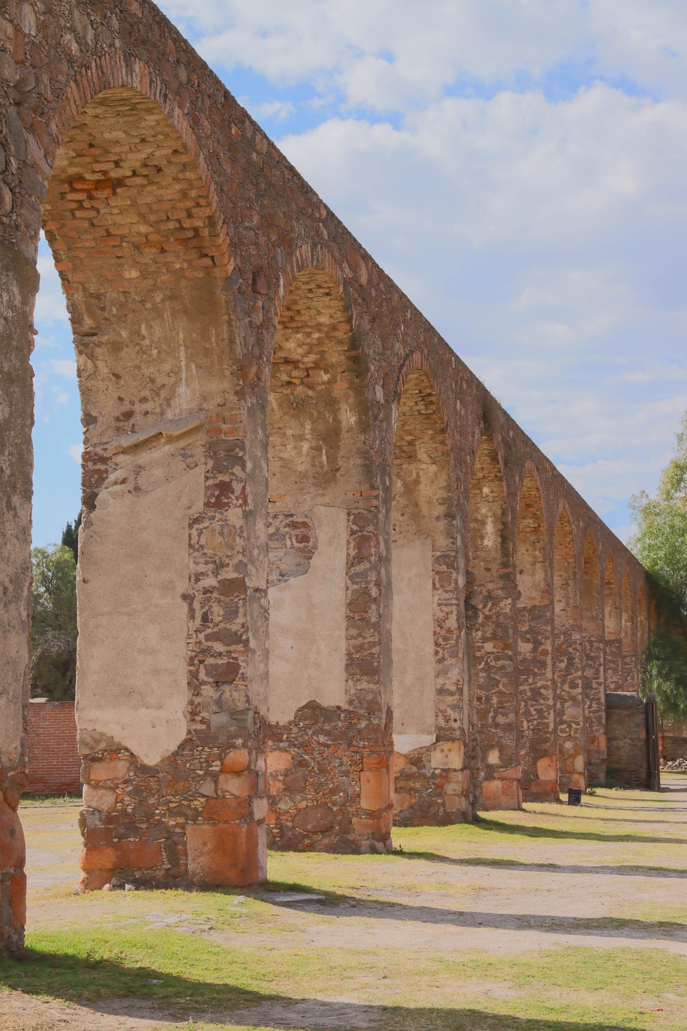
In 2010, for the inscription of the Camino Real de Tierra Adentro on the list of UNESCO World Heritage sites, the Haciendas of Peñuelas, Cieneguilla, Pabellón de Hidalgo, the entire Historic Center of the City of Aguascalientes, as well as sections with vestiges of old roads, bridges, cattle ranches and Indian villages that still exist were included.

Walking through our streets, it is impossible not to marvel at the architecture of the old mansions and buildings, silent witnesses that, along with the neighborhoods of San Marcos, Guadalupe, Triana, La Salud, La Purísima and La Estación, bear witness to the rich past that is today a World Heritage Site.